Cloudless
high altitude UAVs
Unmanned stratospheric planes
Near space research and remote sensing

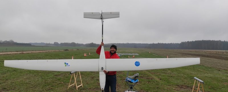
We are a tech company developing innovative on a global scale unmanned airplanes flying at altitudes of up to 25,000 meters. We will provide high-quality data on a scale not available for conventional drones. At flight speeds of 100-300 km / h, we can respond quickly and unrivaled to customer needs. Our planes soar into the stratosphere using special, biodegradable balloons. As a result, we have an advantage over most of the global competition in the HALE / HAPS drone market – other projects of this type have greater weather restrictions.

REMOTE SENSING
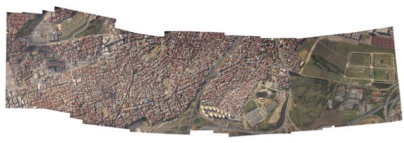
We are developing the technology of relatively large-scale Earth imaging with a resolution exceeding GSD = 15cm / px. Thousands, even tens of thousands of hectares imaged daily. We can illustrate both long-term and dynamic changes: climate, landscape, agricultural damage and natural disasters. Up-to-date large-scale and high-quality spatial data are also essential for local governments for urban planning purposes. These are all just examples of the remote sensing market.

RESEARCH
So far, there have been no solutions in the world for studying the Earth’s atmosphere from stratospheric airplanes. Since we have such a large vertical span of flight altitude, we can make specialized measurements of the composition of the atmosphere and safely return with expensive equipment to the landing field. The Cloudless solution will enable the improvement of atmospheric models to better predict the current, dynamic weather.

SURVEILLANCE
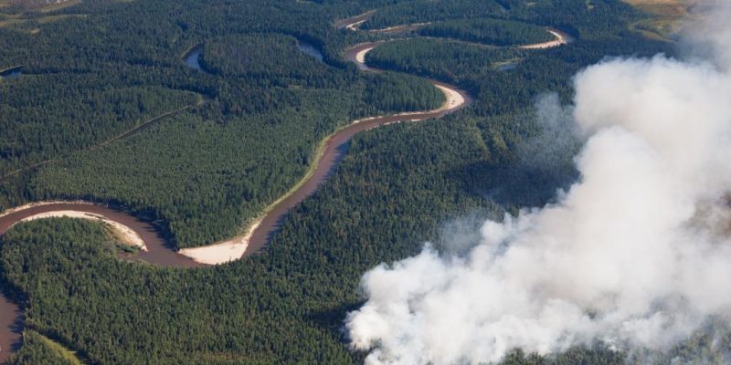
With long-term flights at altitudes of 10,000 – 25,000 meters, we can see more than any conventional aircraft. The entire province may be within the field of view of Cloudless planes. With the use of appropriate EO / IR sensors, we can monitor natural disasters, support crisis management, and protect sea and land borders. Further development will enable the use of synthetic aperture radar – clouds will not be an obstacle in the detection of objects. All this without affecting other aircraft involved in rescue operations at lower altitudes.

WROTE ABOUT US


